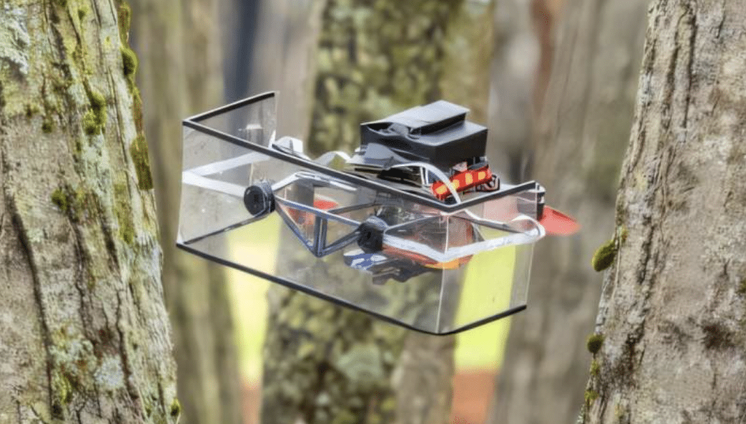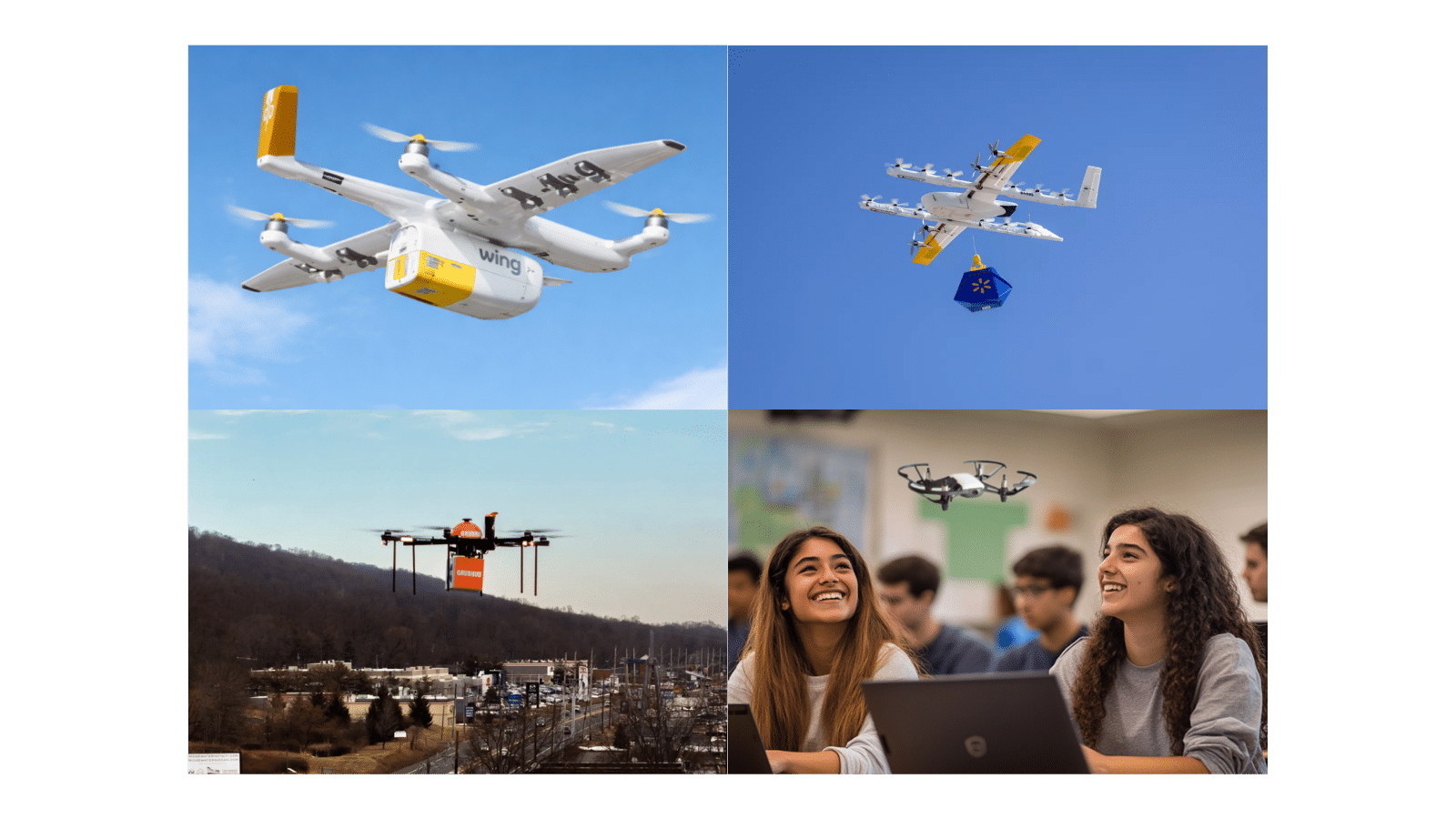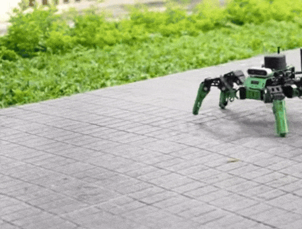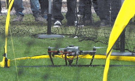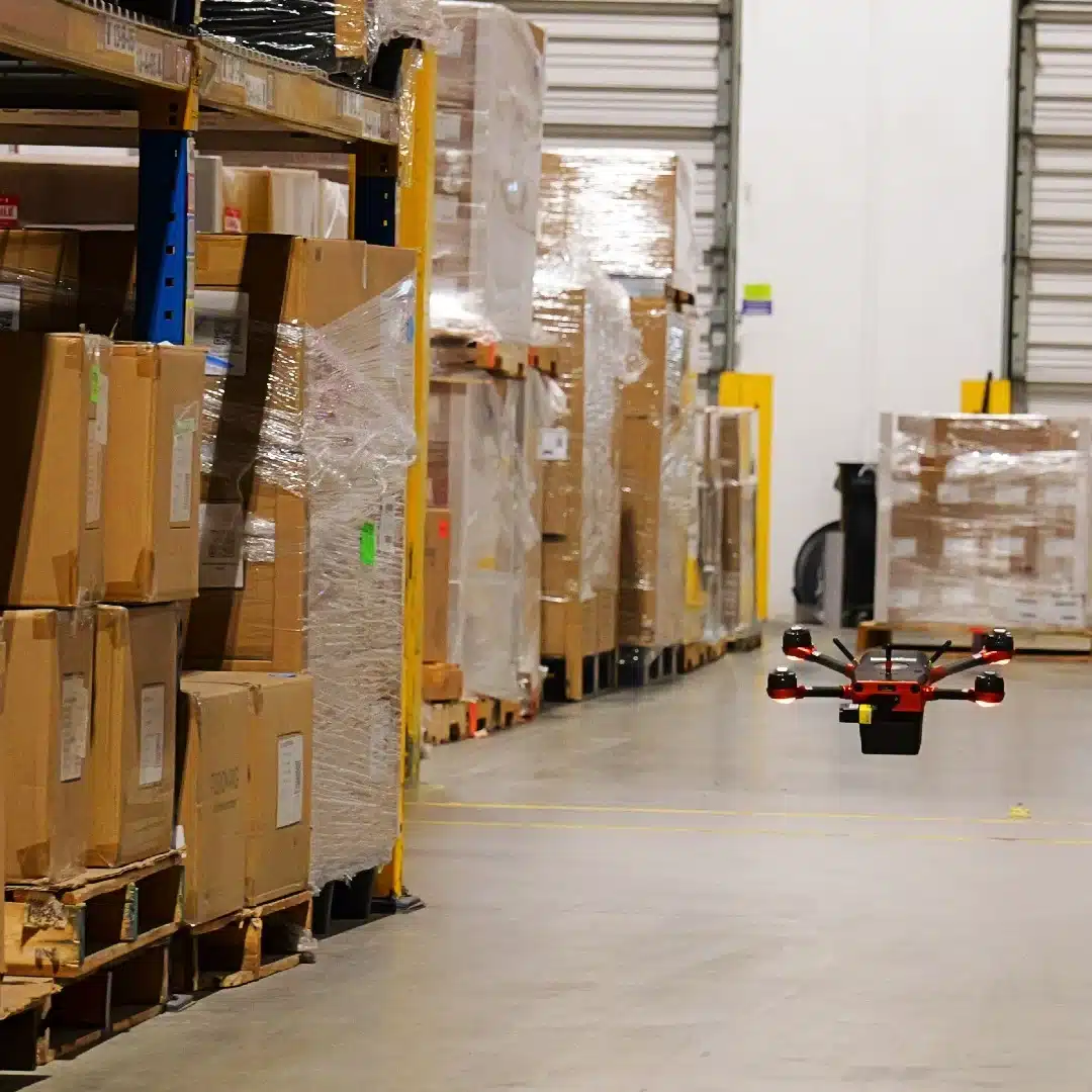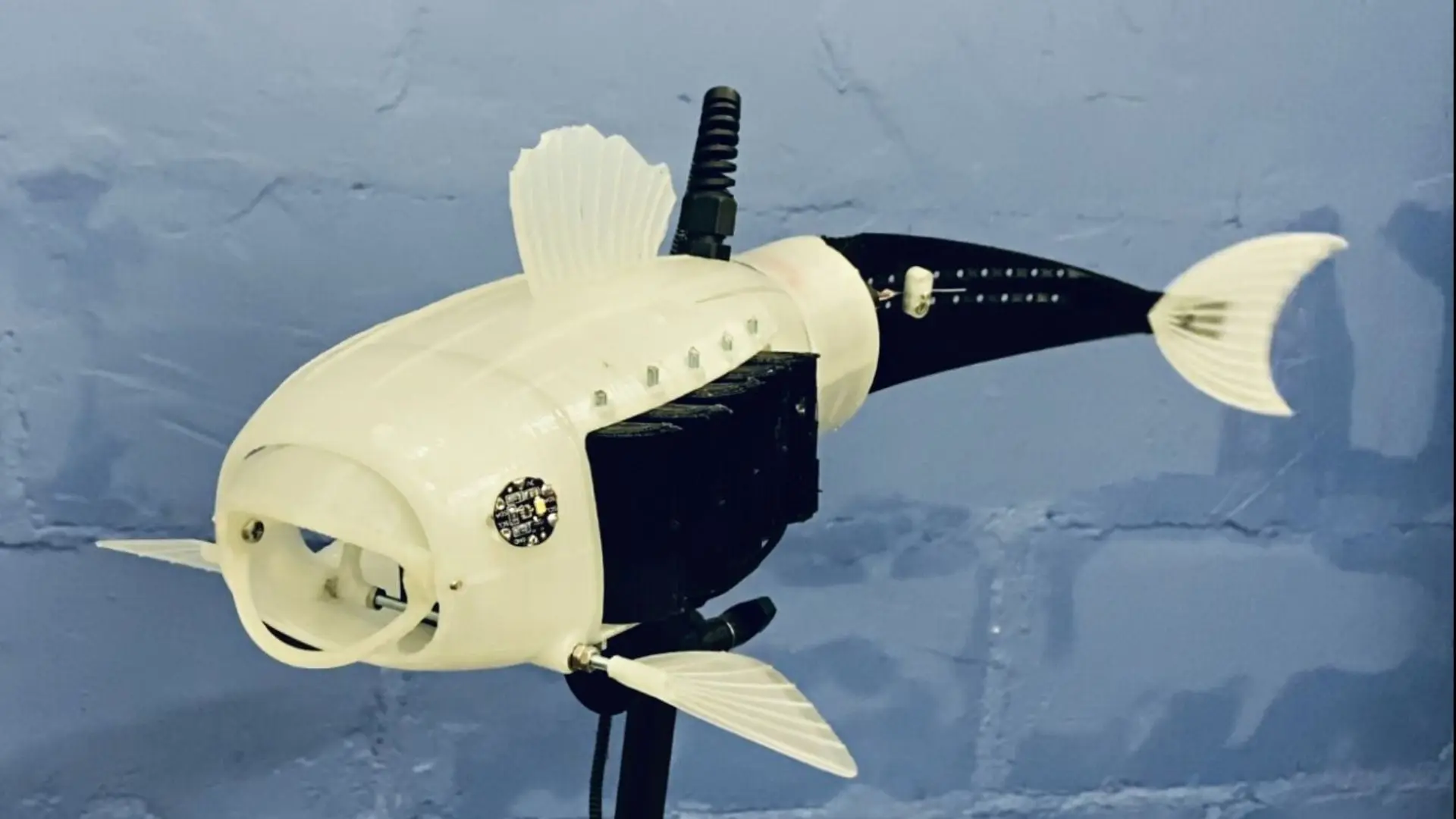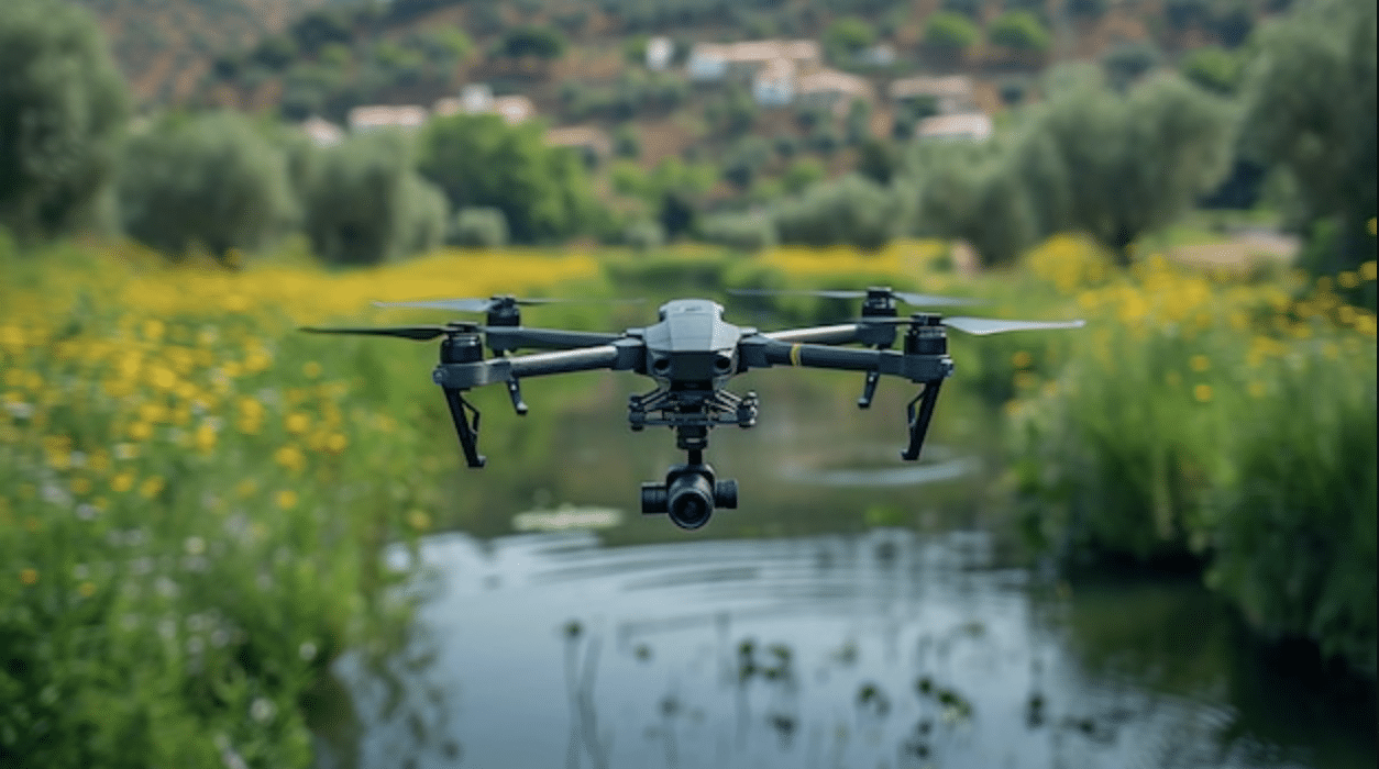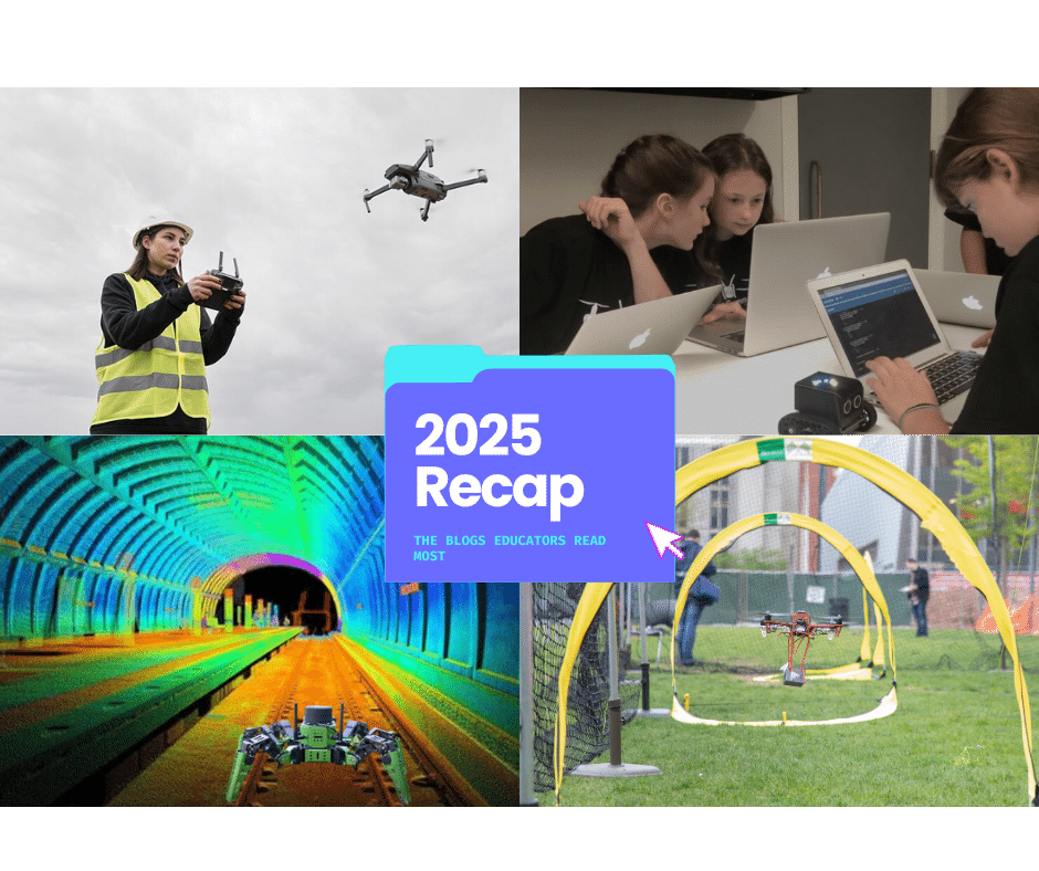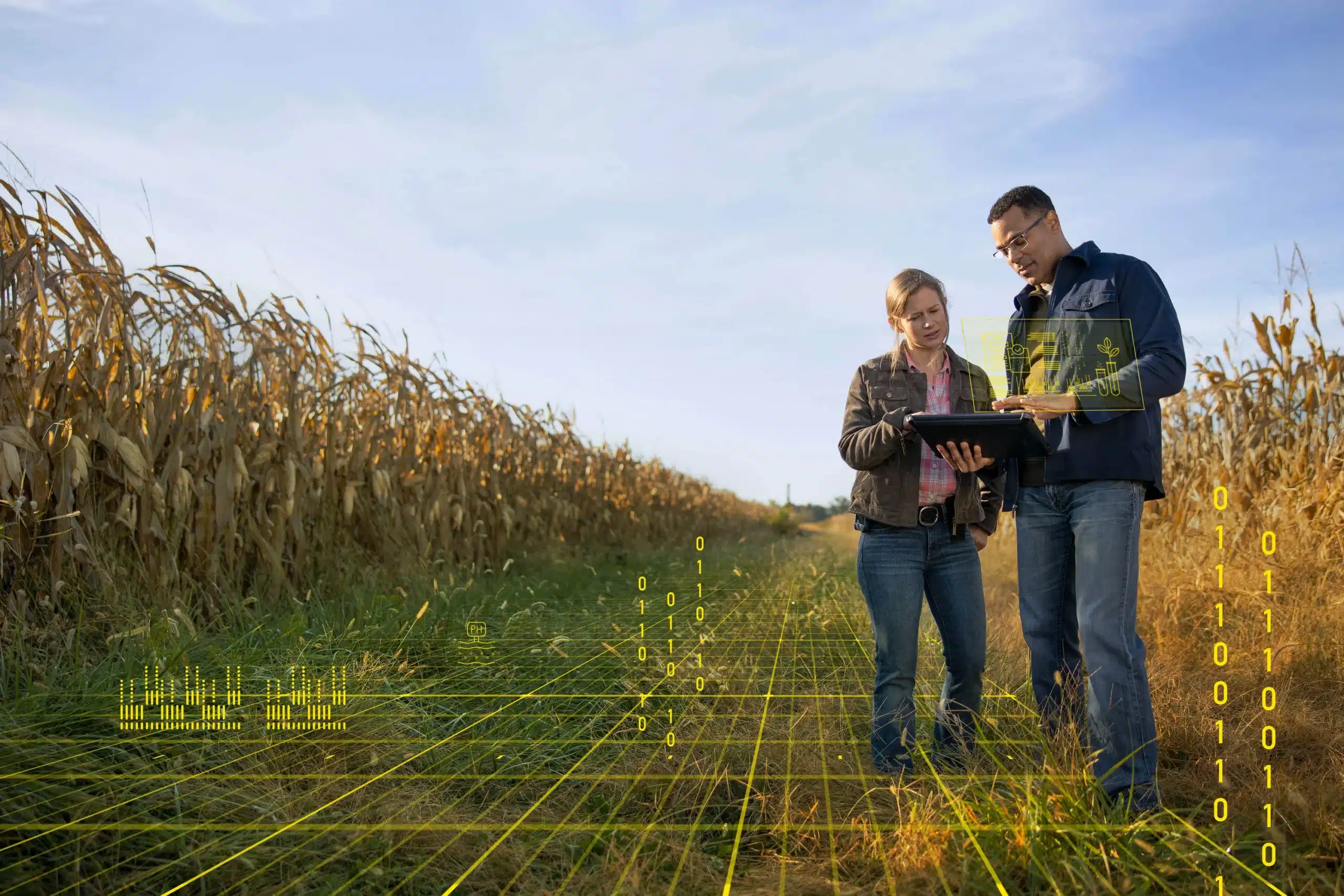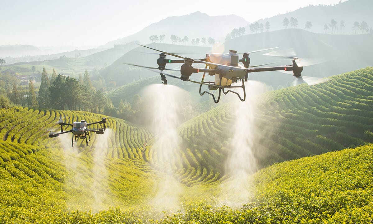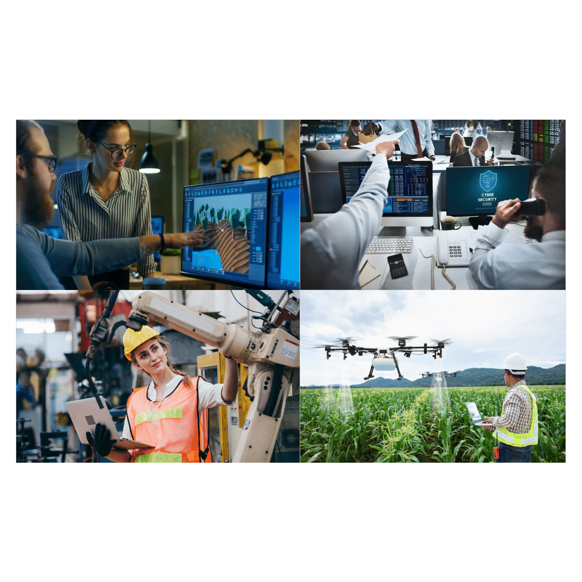

In recent years, drones have emerged as a transformative tool in various industries, from agriculture to filmmaking. One of the most impactful applications of drone technology is in the field of aerial mapping. By capturing high-resolution images and generating detailed 3D models, drones are transforming urban planning and disaster preparedness. Let’s explore how aerial mapping technologies are shaping our world and how they can inspire future generations.
The Power of Aerial Mapping Technologies
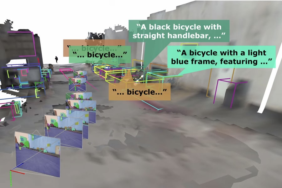
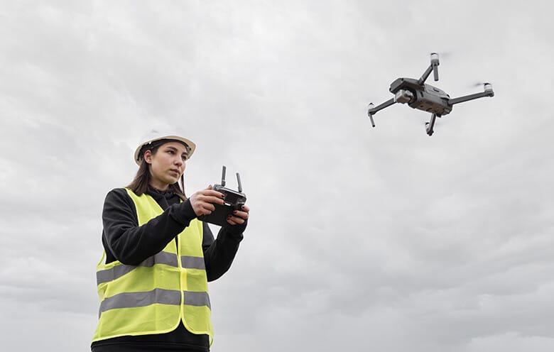
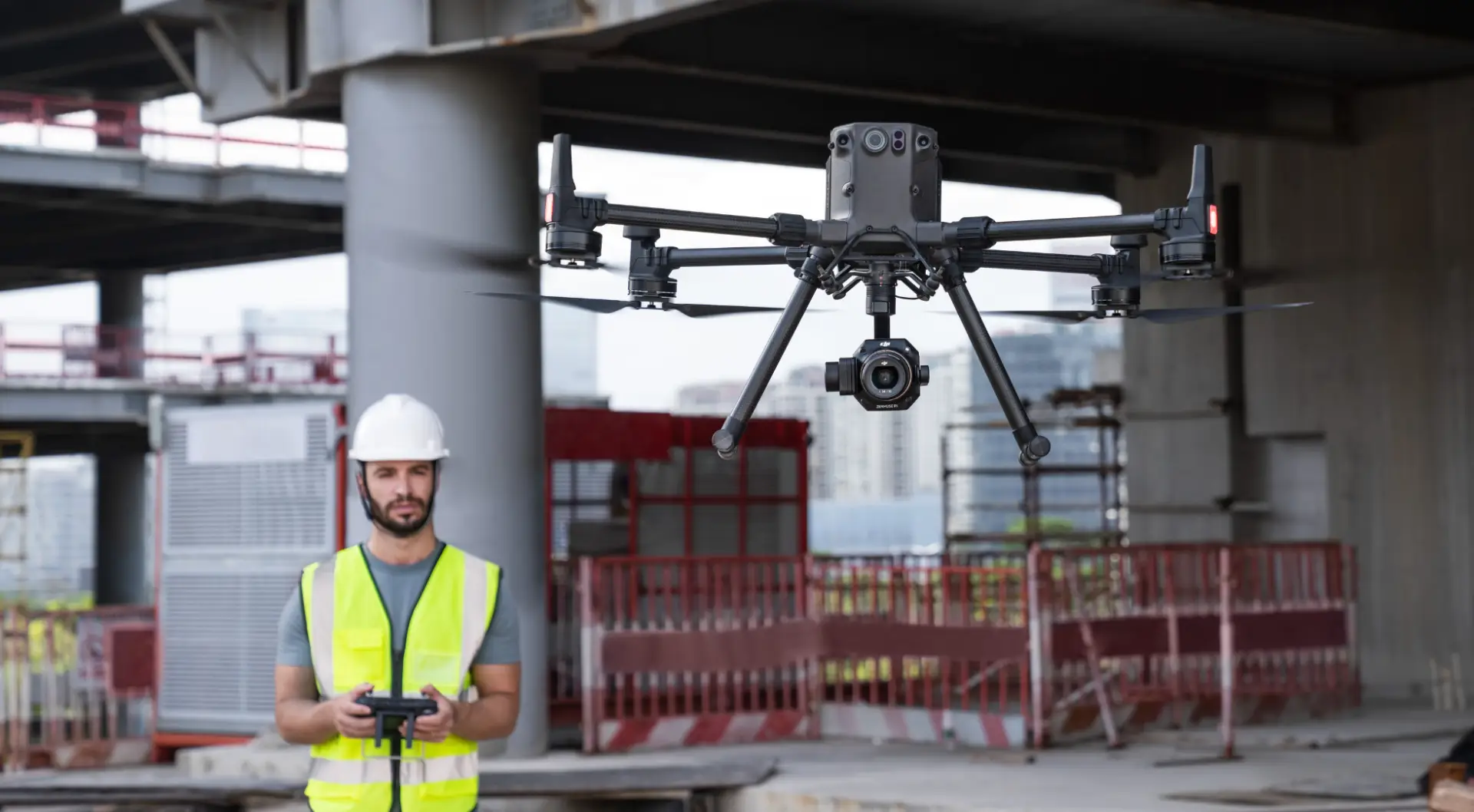
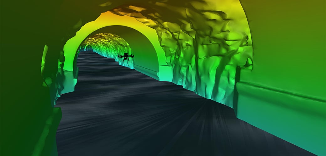
Aerial mapping involves using drones equipped with cameras, advanced sensors, and GPS systems to capture detailed images and data from above. These images are then processed using specialized software to create accurate maps, 3D models, and topographic surveys. Here’s how this technology is making a difference:
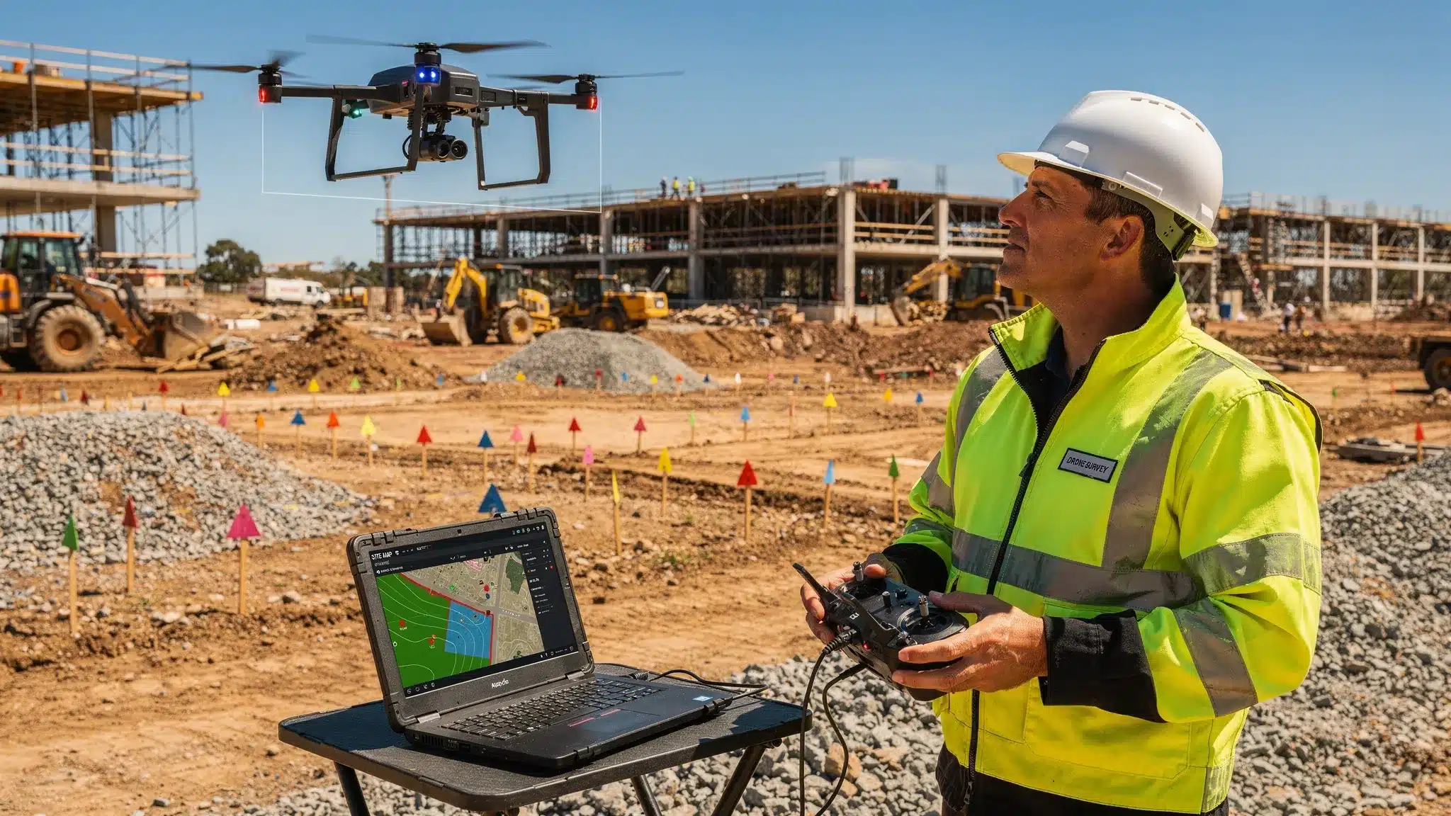
- Urban Planning: Architects and city planners are using drone-generated maps to design smarter, more efficient urban spaces. Drones can quickly survey large areas, providing data on infrastructure, land use, and environmental conditions. This information helps planners make informed decisions about transportation, zoning, and resource allocation.
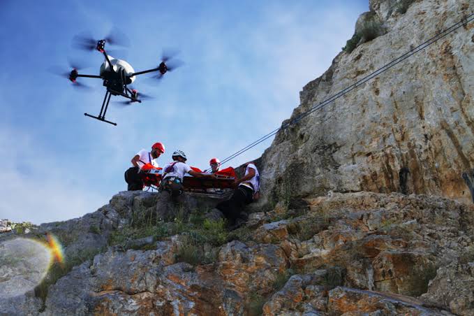
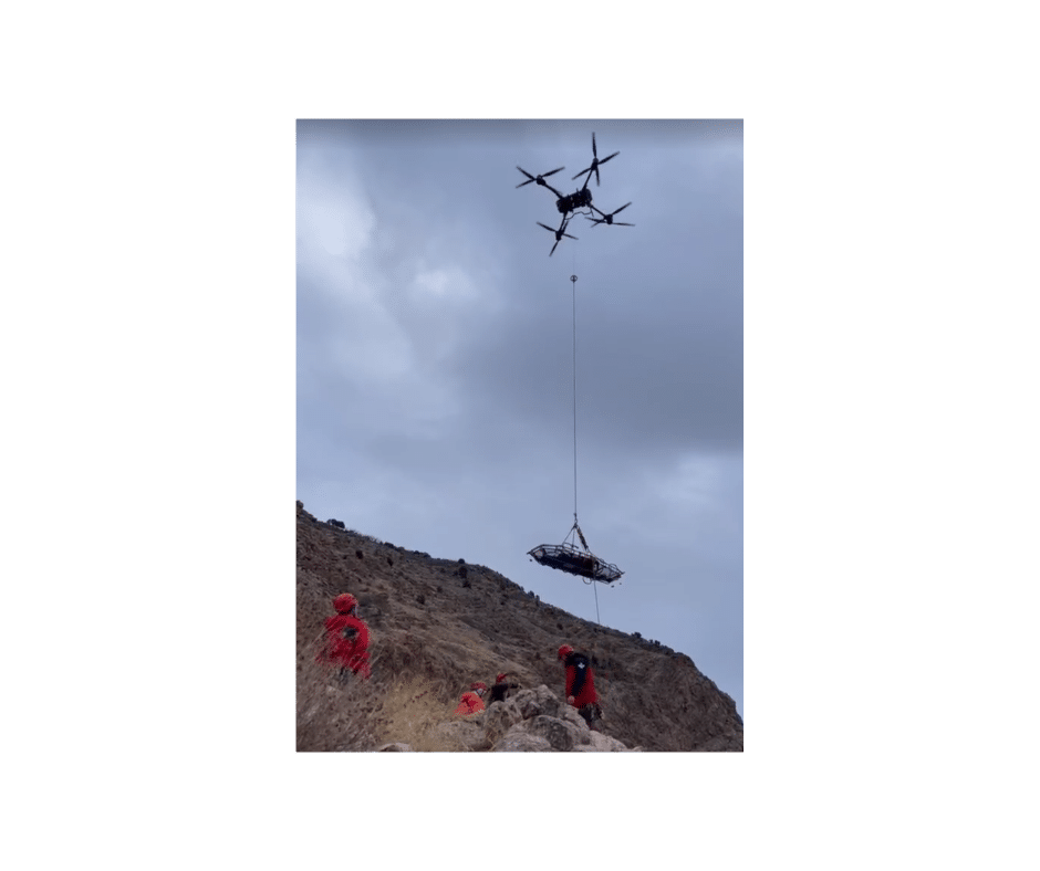
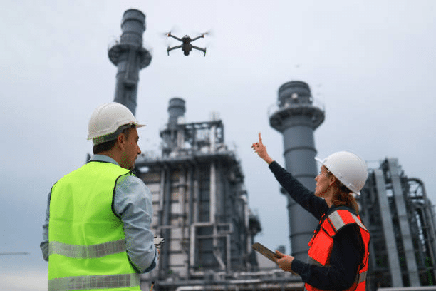
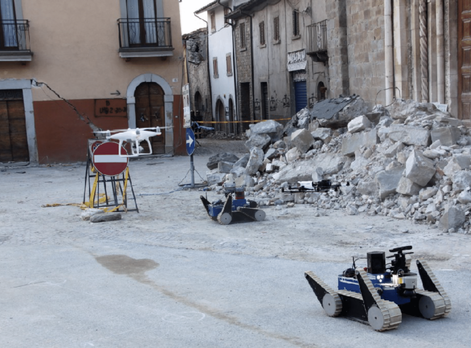
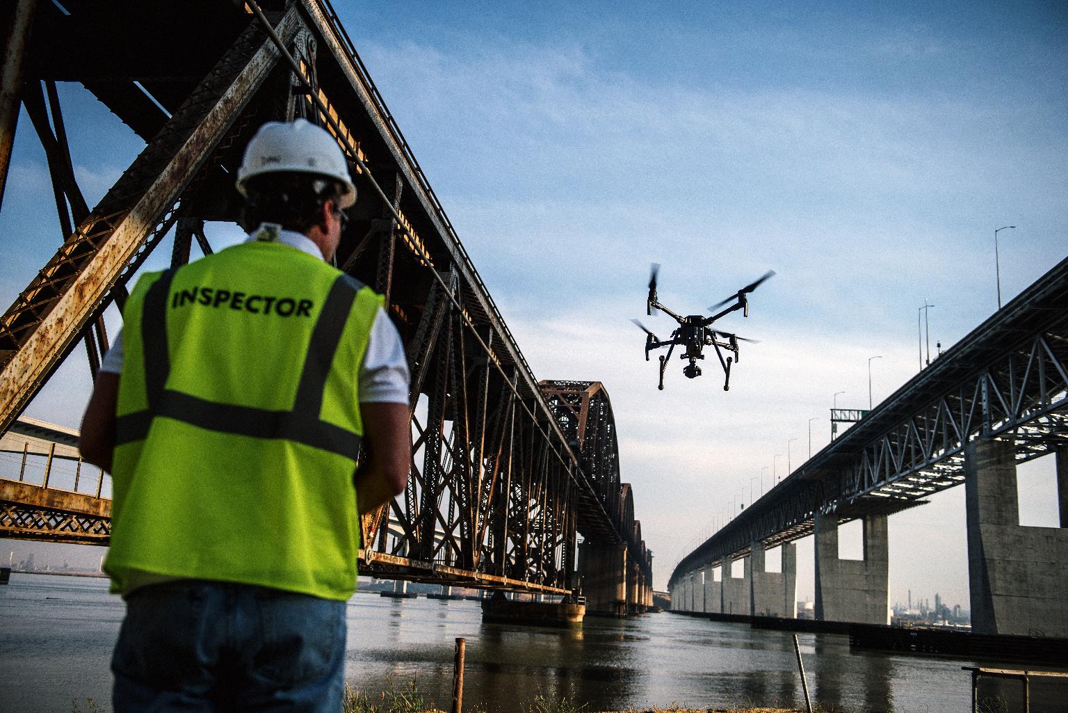
- Disaster Preparedness and Response: In the face of natural disasters like floods, earthquakes, or wildfires, aerial mapping technologies enable authorities to assess risks, map evacuation routes, and allocate resources more efficiently. Pre-disaster mapping helps identify vulnerable areas, allowing for proactive safety measures. When disasters strike, drones provide real-time imagery, helping first responders assess damage and strategize rescue missions. Additionally, they can access hard-to-reach areas, providing real-time data to emergency responders.
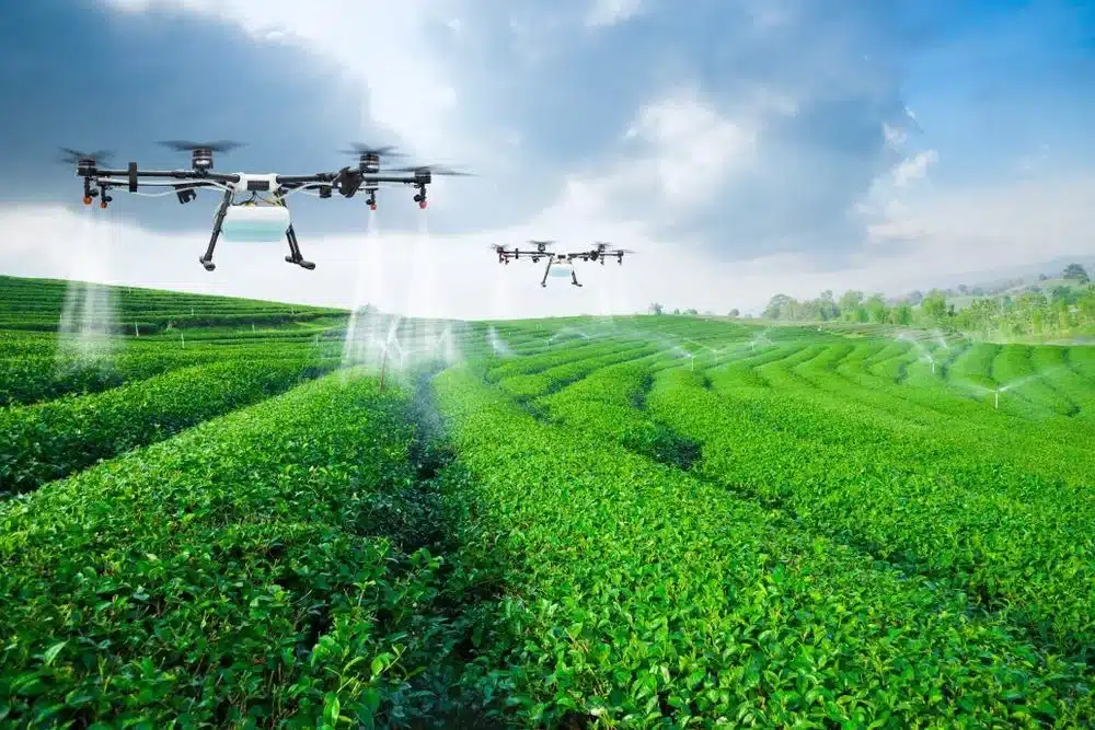
- Environmental Monitoring: Drones are also used to monitor environmental changes, such as deforestation, coastal erosion, and wildlife habitats. This data is invaluable for conservation efforts and sustainable development.
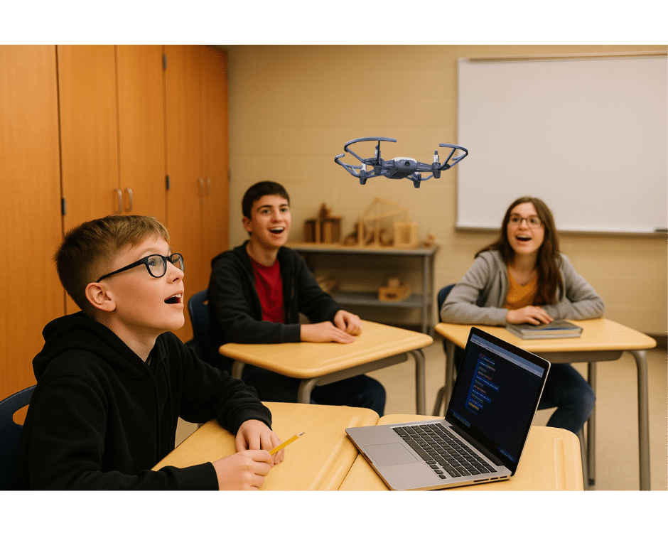
Educational Applications: Teaching the Next Generation
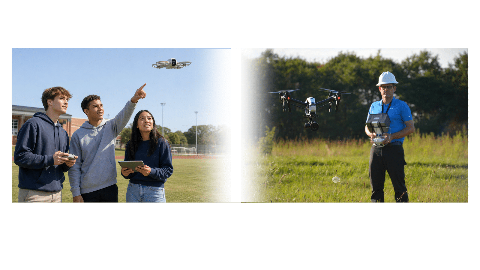
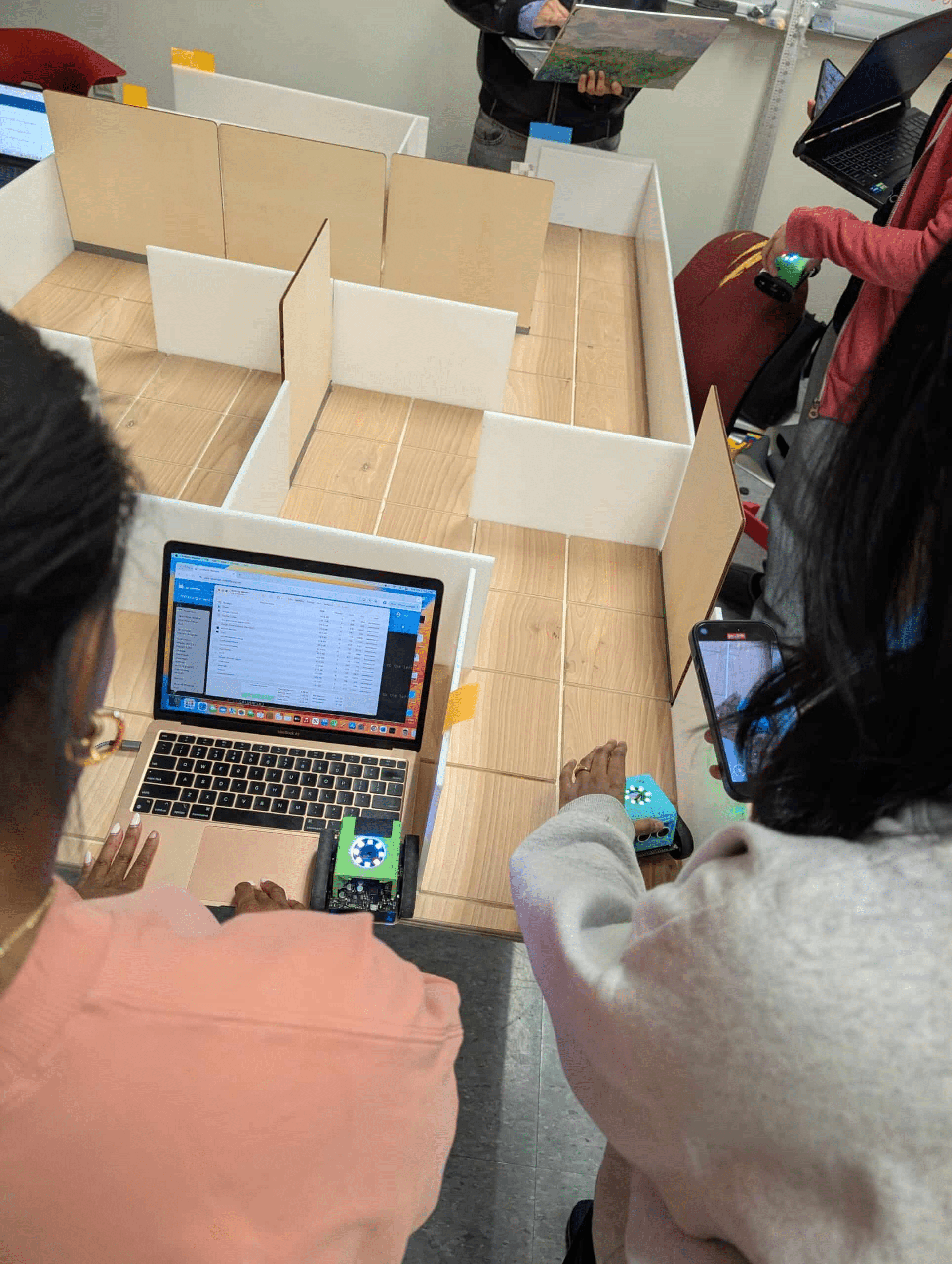
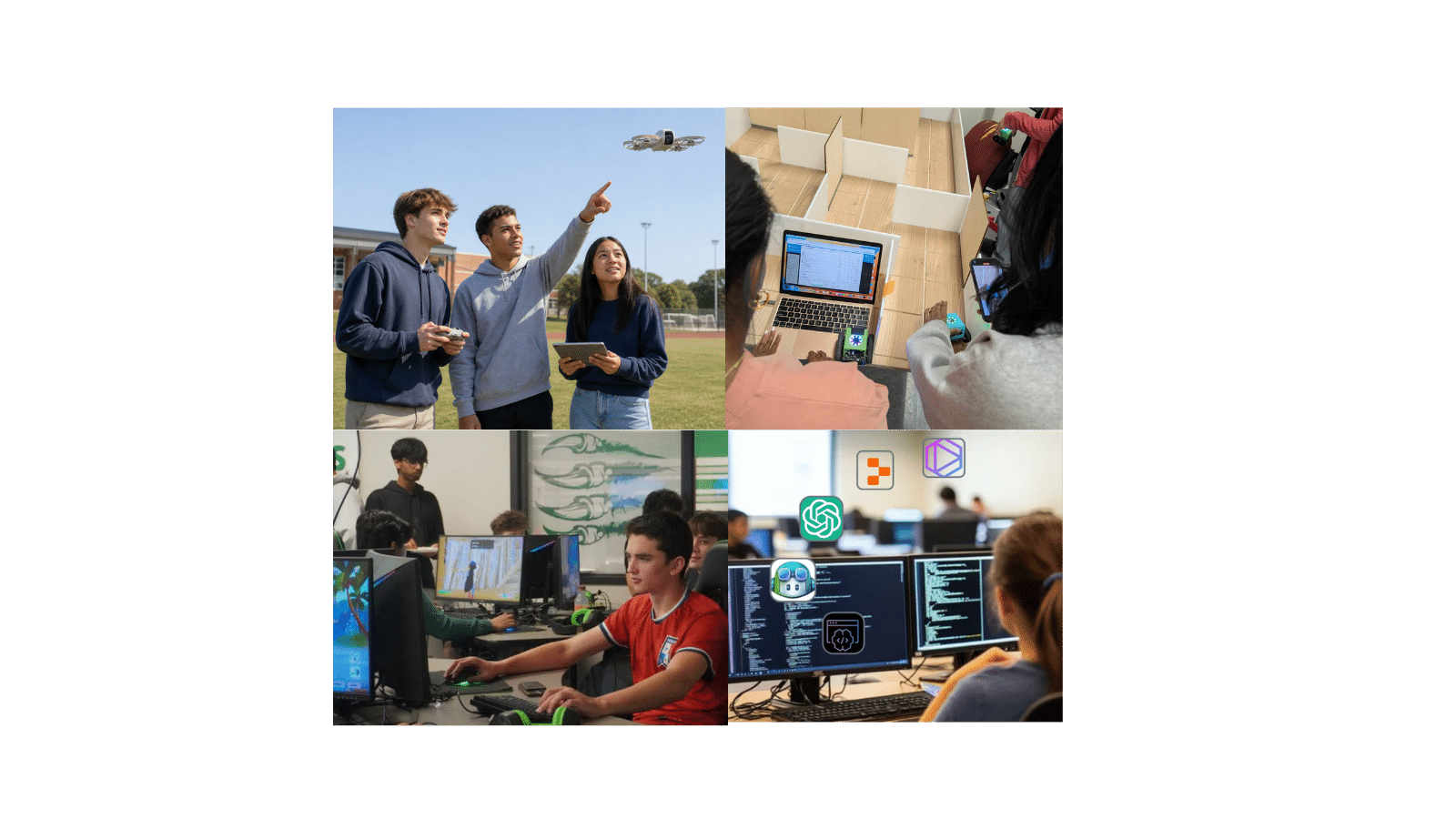
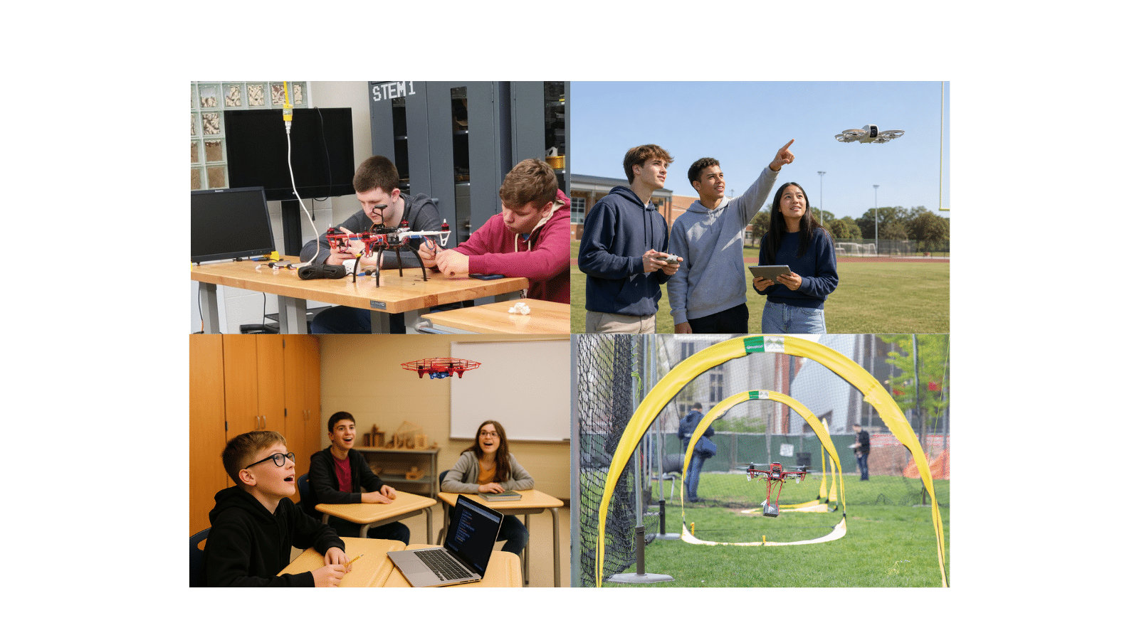
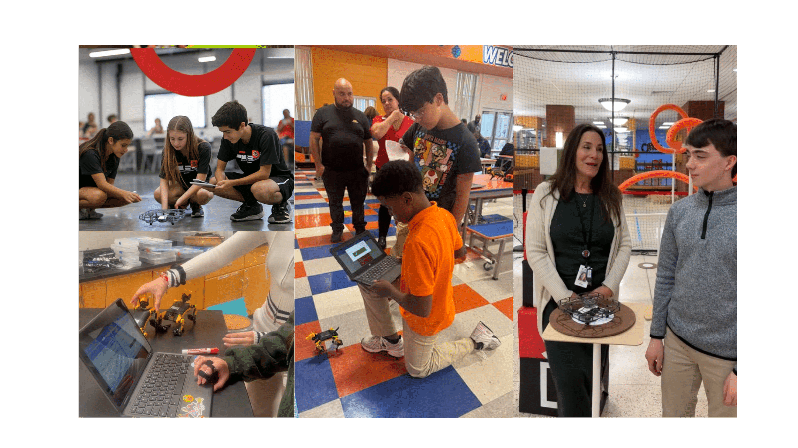
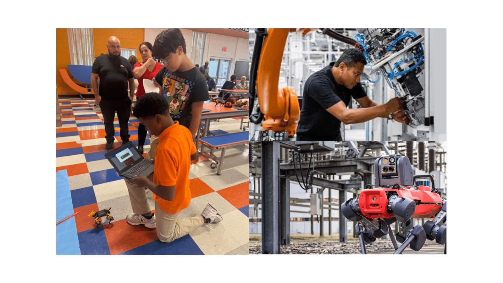
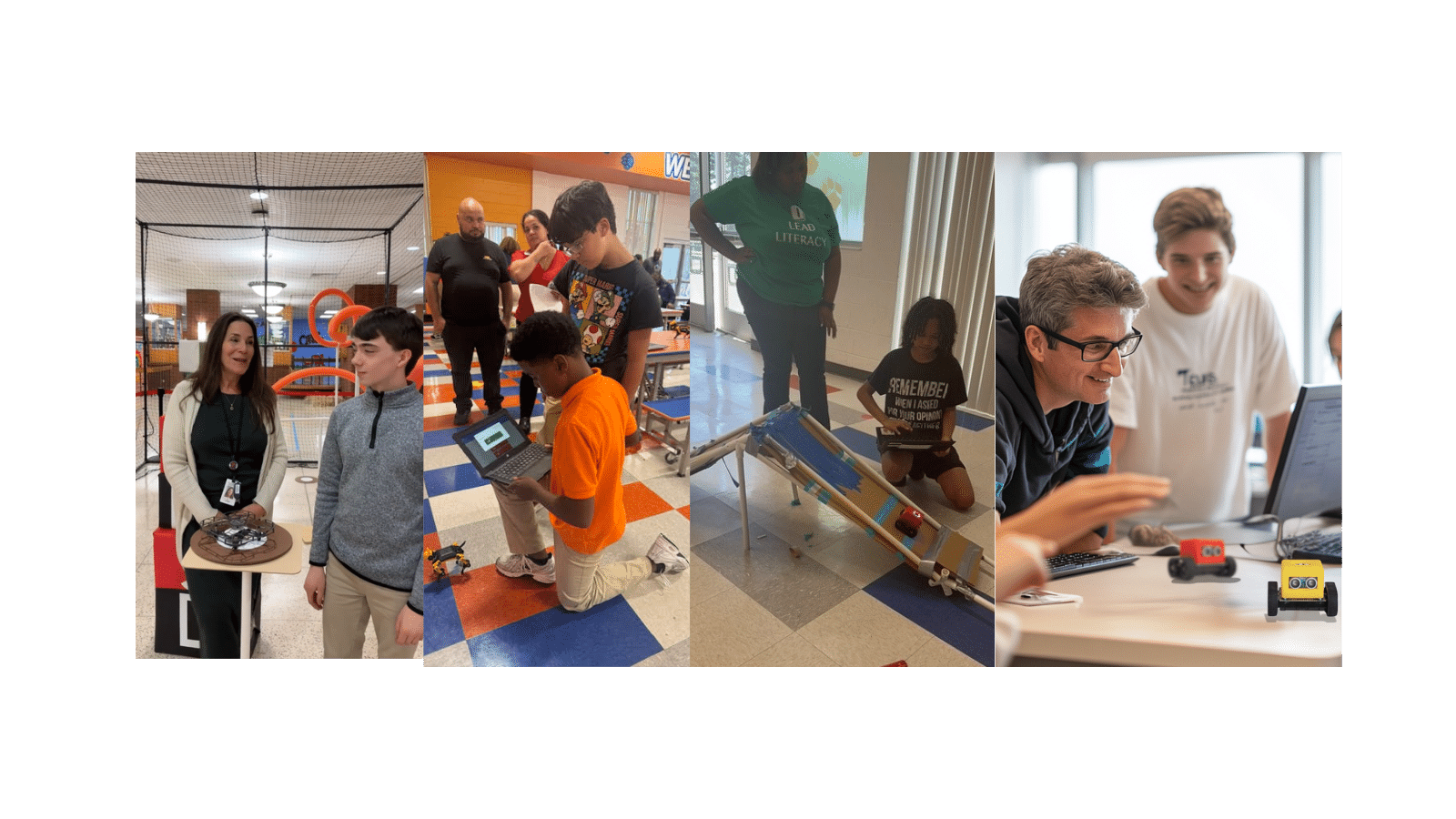
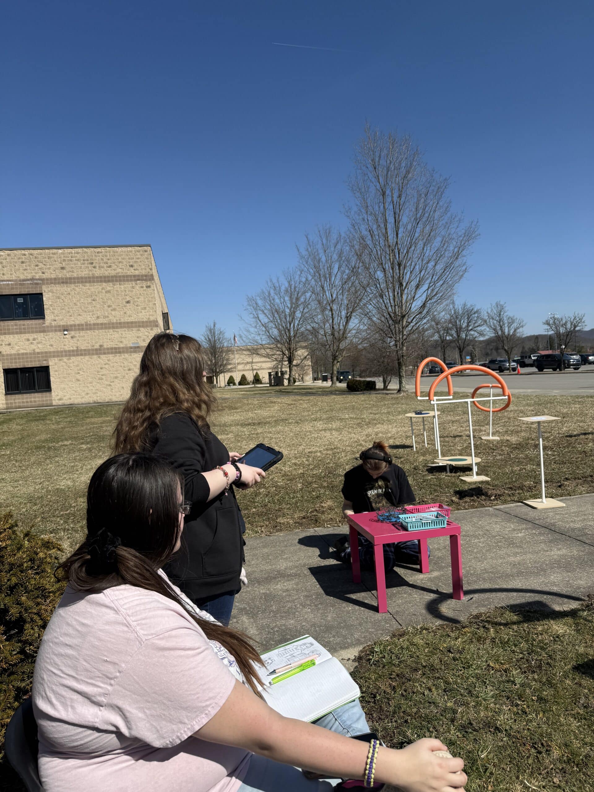
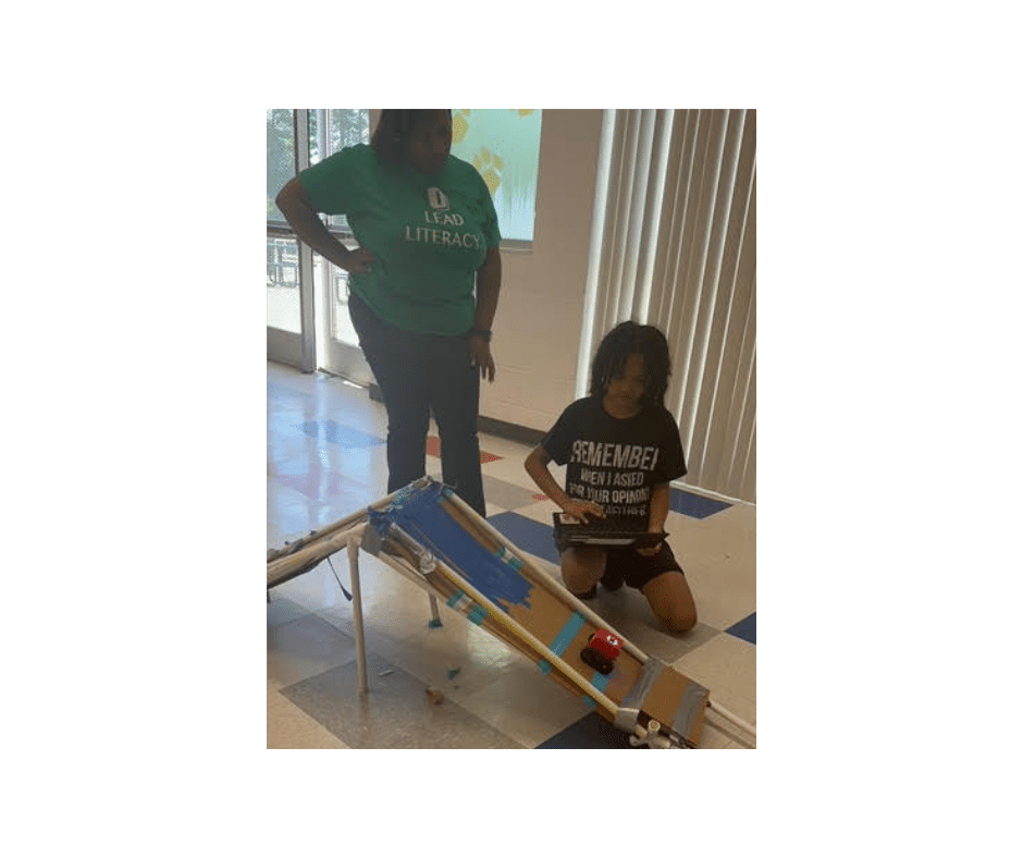
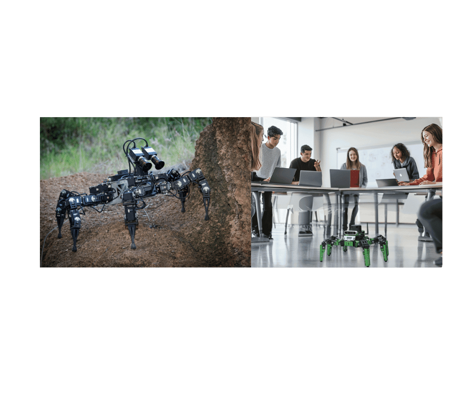
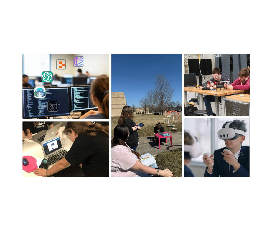
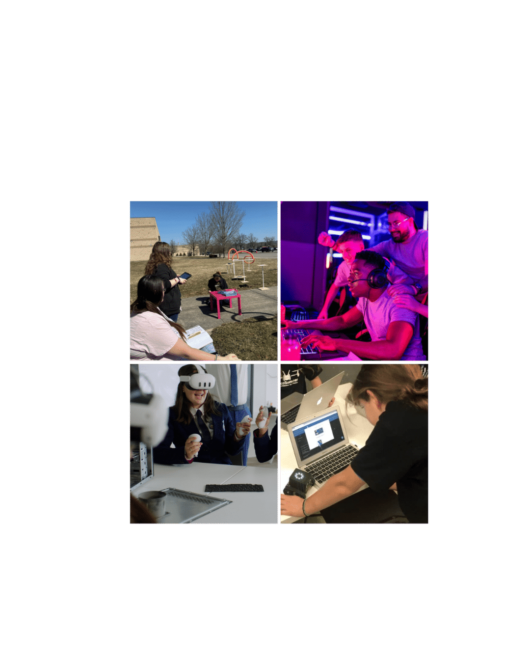
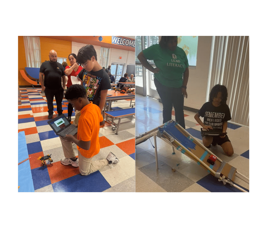
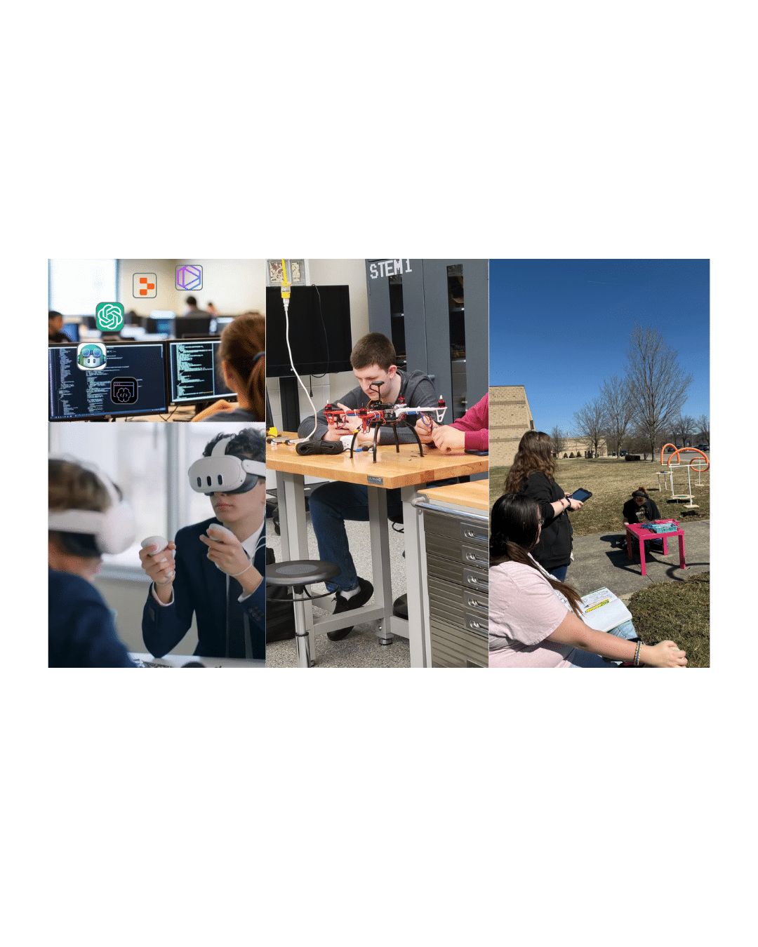
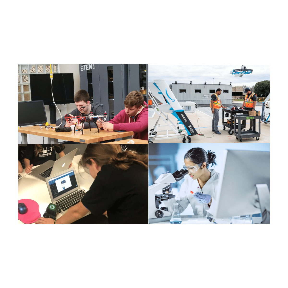
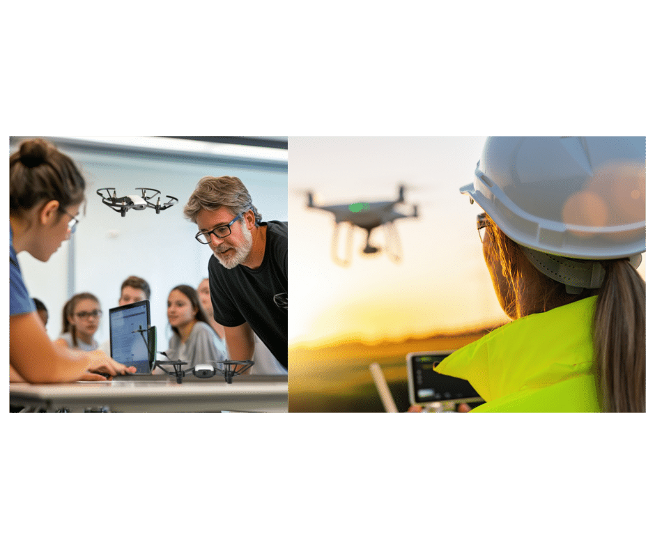
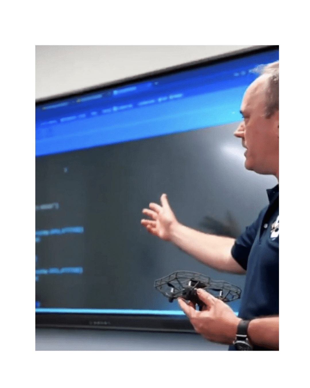
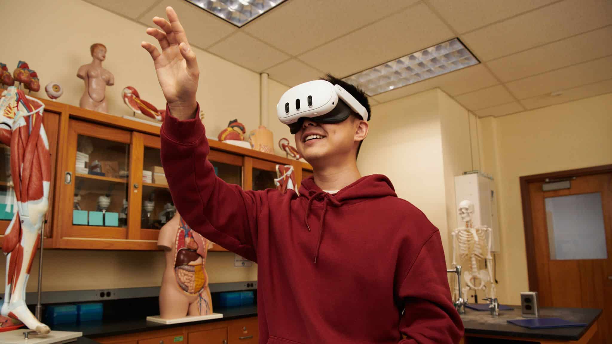
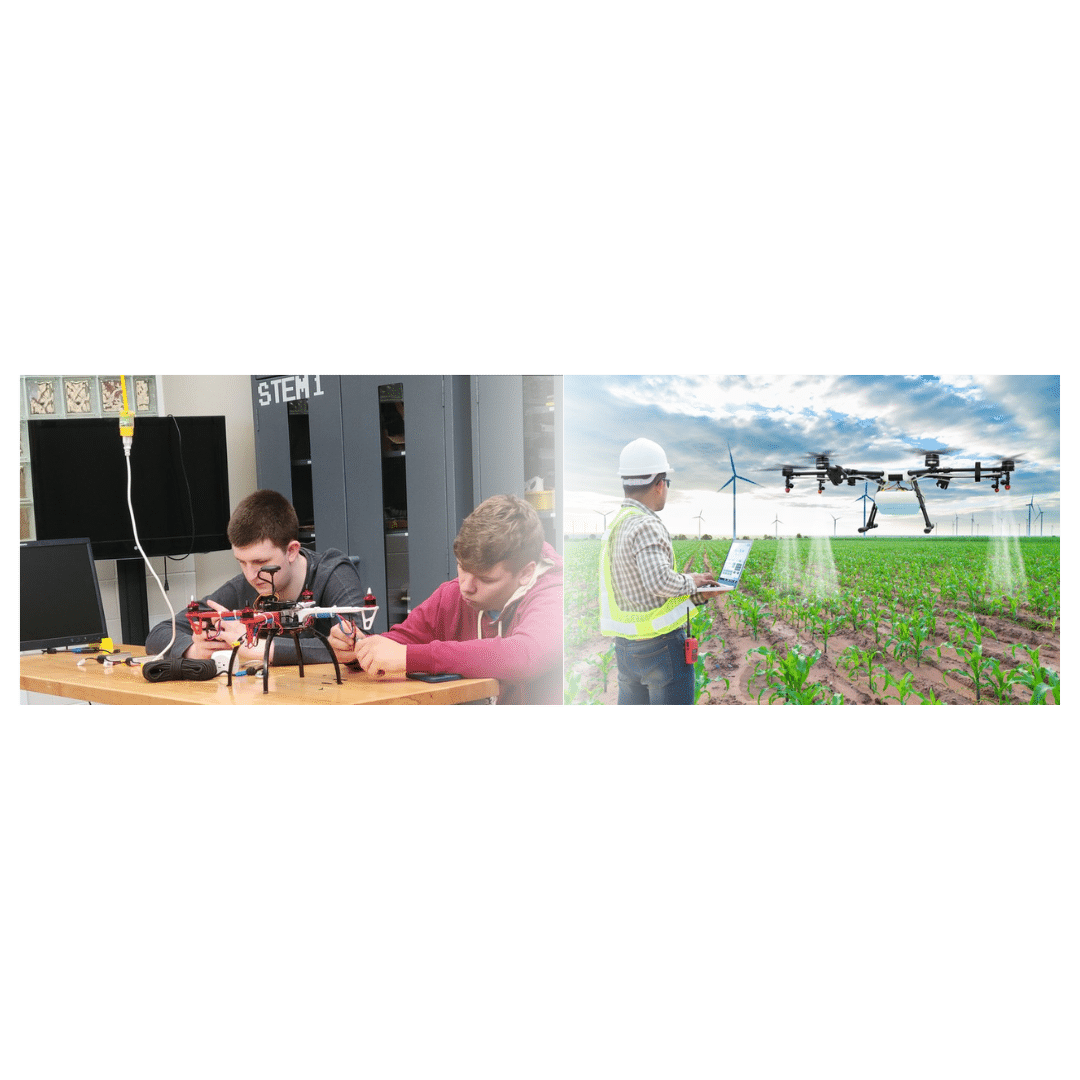
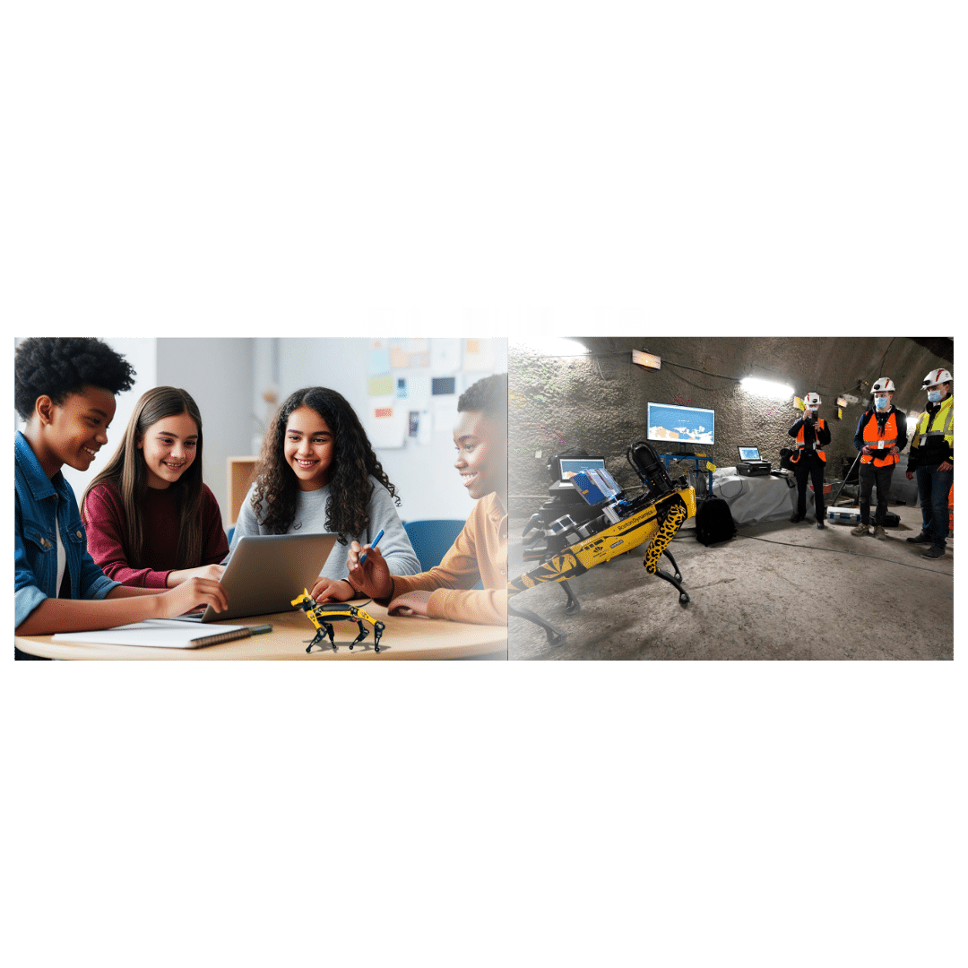
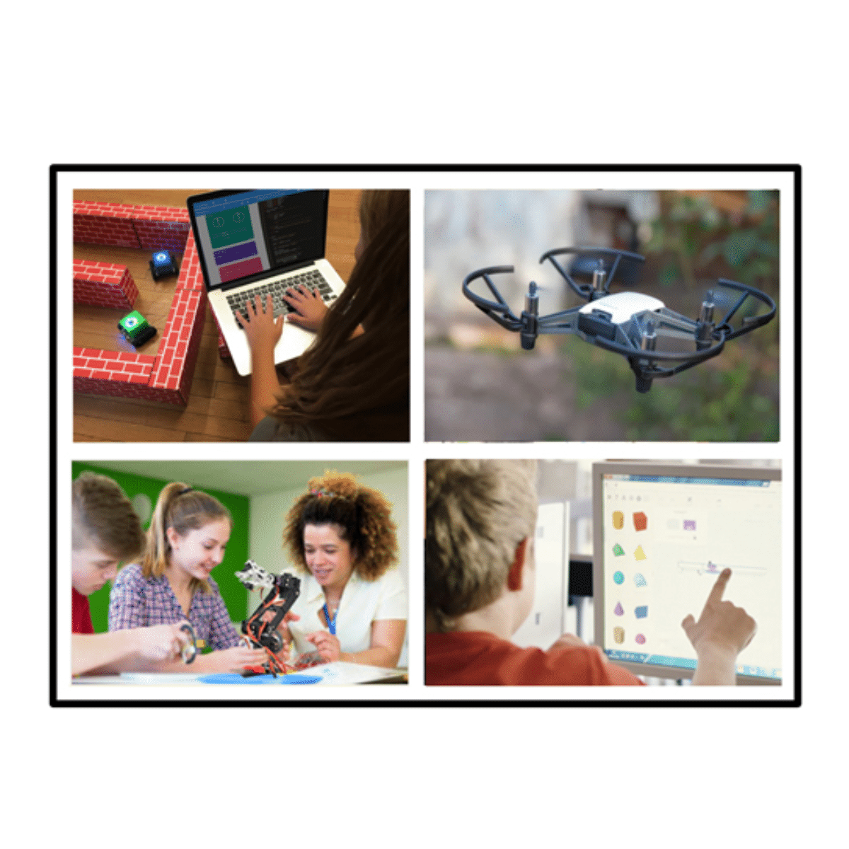
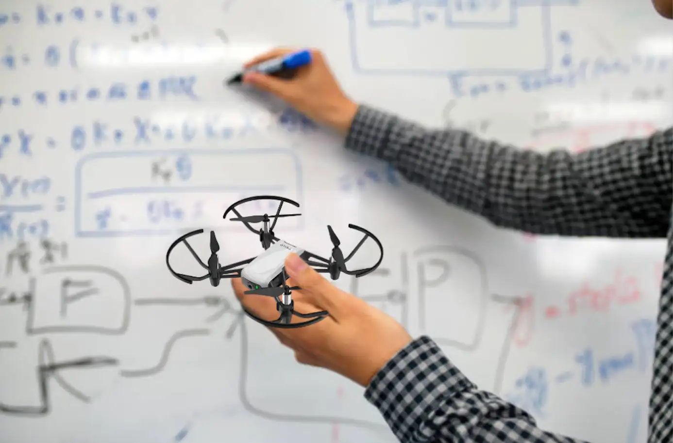
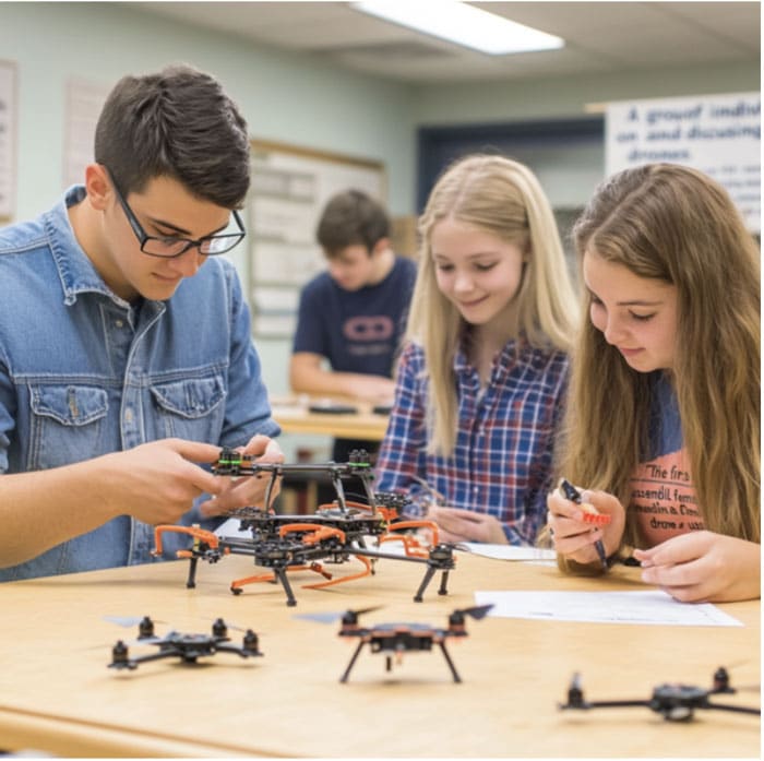
Beyond urban planning and disaster preparedness, drone mapping technology presents exciting educational opportunities. Schools are incorporating drone technology in classrooms, offering students hands-on learning experiences with real-world applications.
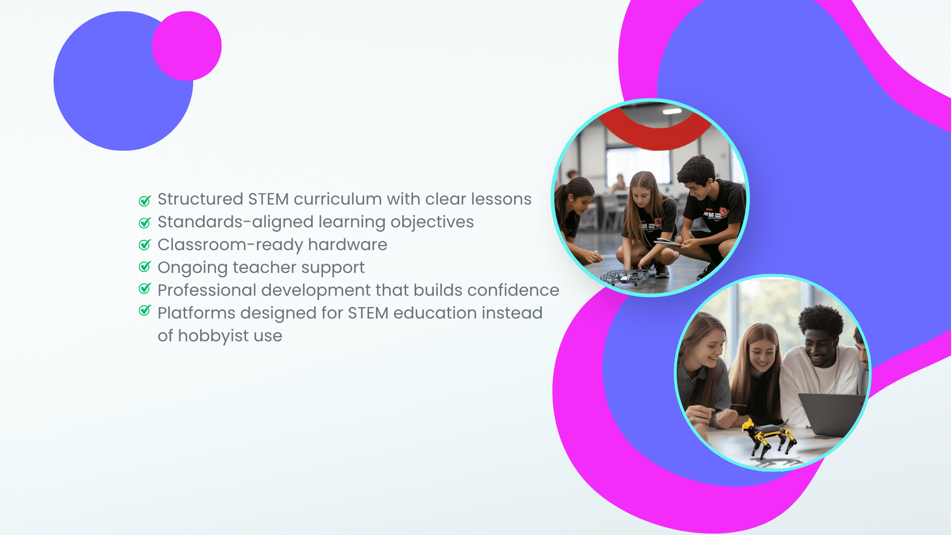
Here’s how drones can enhance STEM education:
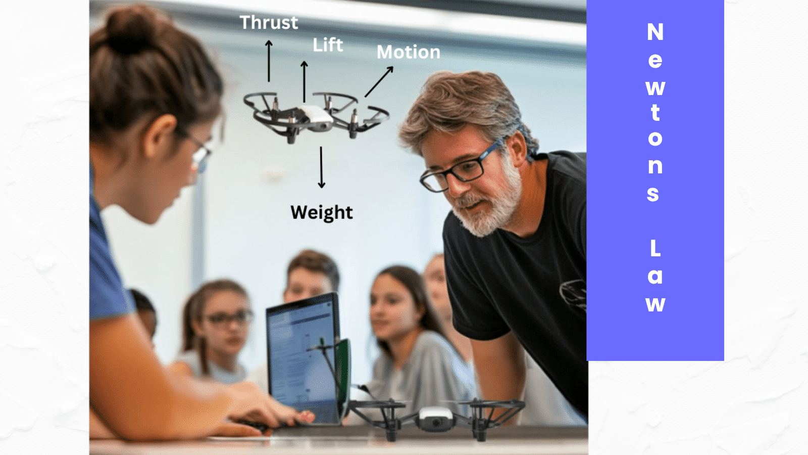
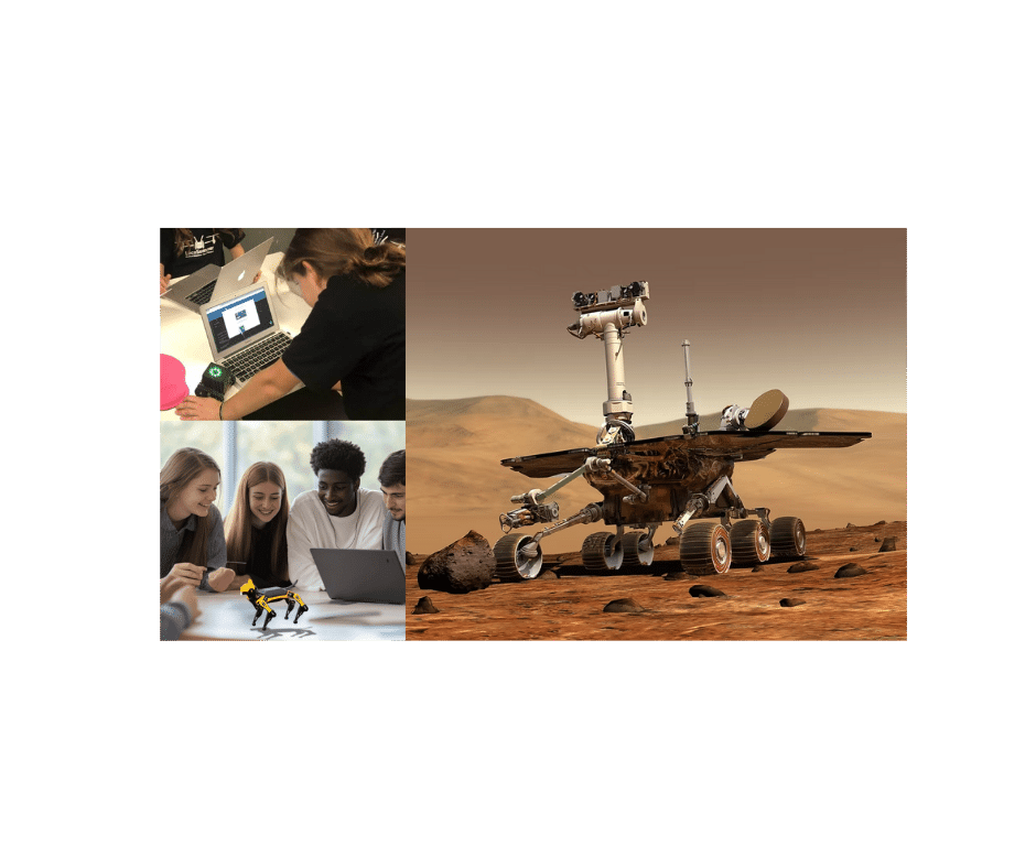
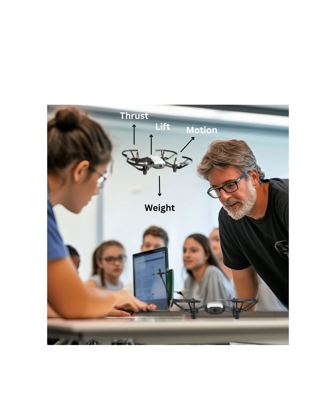
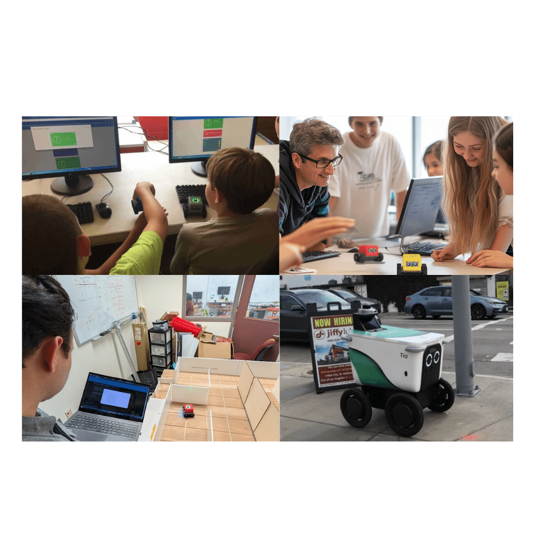
- Hands-On Learning: Students can learn about robotics, aerodynamics, and coding by building and programming drones.
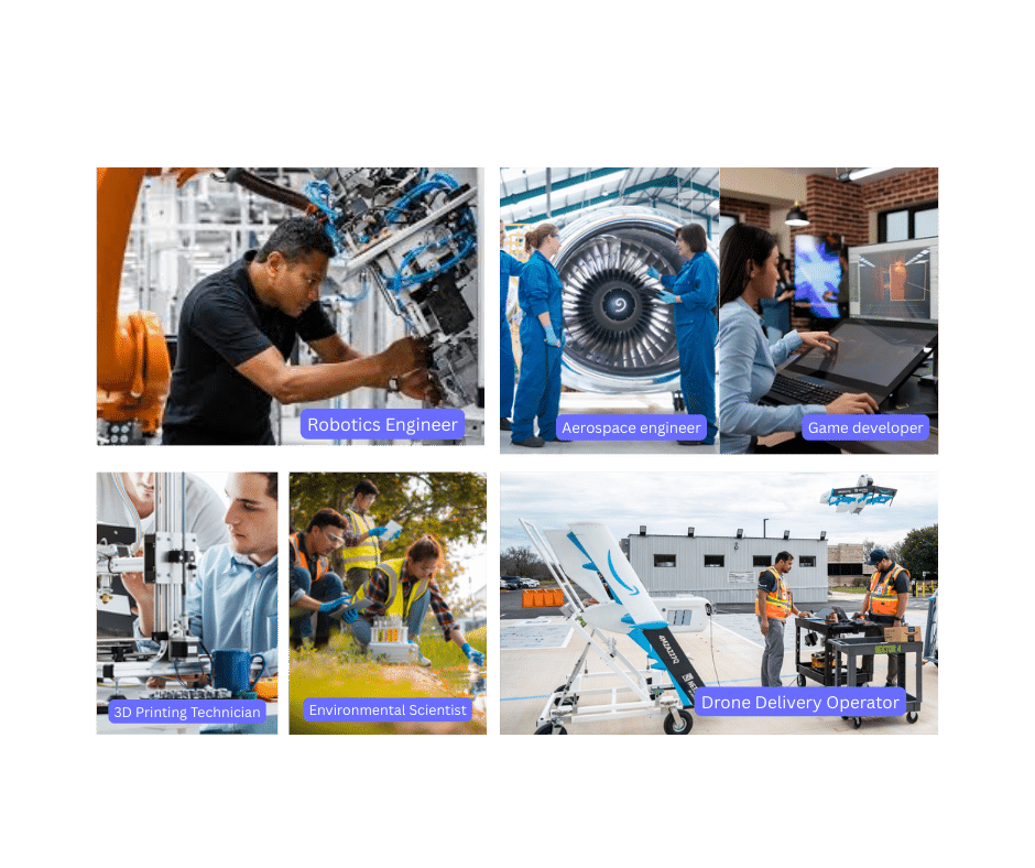
- Real-World Applications: Projects like creating maps of their school or community help students understand the practical uses of technology.
- Interdisciplinary Connections: Drones bridge subjects like geography, environmental science, and computer science, showing students how STEM fields intersect.
At LocoRobo, we believe in empowering the next generation with the tools they need to succeed. Our drones for education are explicitly designed for K-12 STEM education programs, providing students with a fun and engaging way to explore cutting-edge technology. Whether it’s learning the basics of flight or diving into advanced mapping projects, our solutions make STEM education accessible and exciting.
LocoRobo bridges the gap between technology and education, shaping the next generation in smart city development and emergency response. Get in tocuh to learn more about our drone solutions and how we can help you inspire the innovators of tomorrow.