What if a spacecraft could recognize a dangerous landing site and choose a safer one before touching down?
NASA is testing technology designed to do exactly that. In a recent experiment at Edwards, California, researchers used drone technology to demonstrate an advanced navigation system that could help future spacecraft land more safely on the Moon and Mars.
The experiment highlights how autonomous drones, sensors, and terrain mapping are contributing to the development of space exploration technologies.
How NASA Used a Drone to Simulate a Lunar Landing
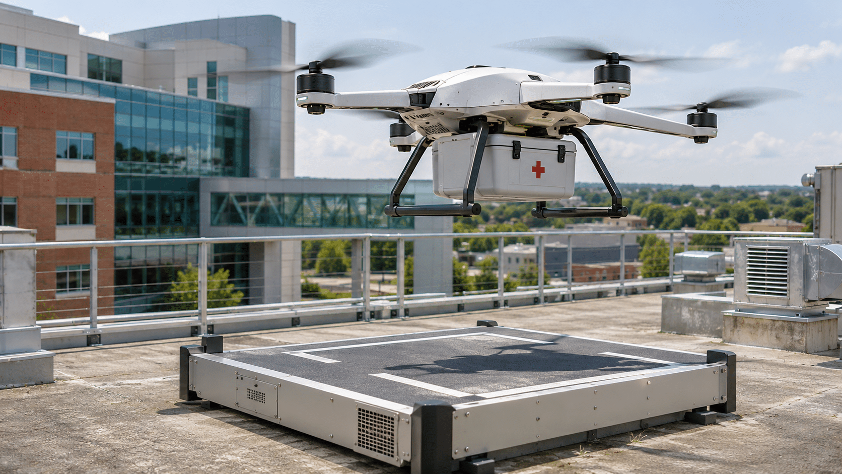
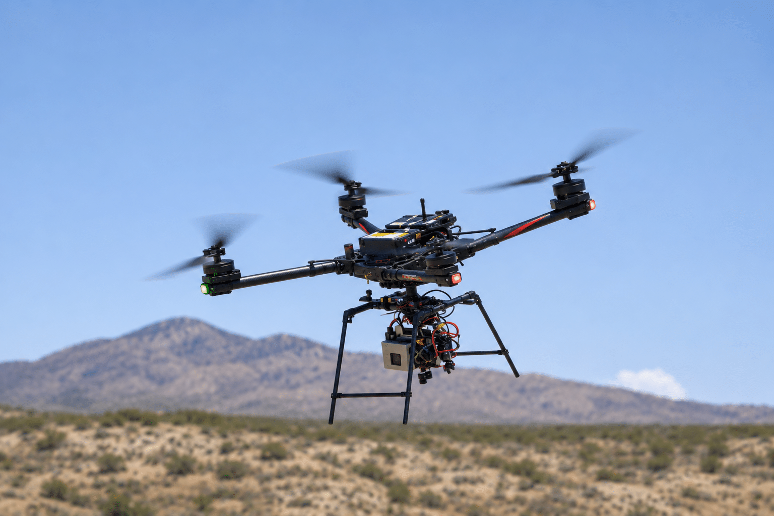
On August 27, 2026, NASA tested its Safe and Precise Landing – Integrated Capabilities Evolution (SPLICE) system aboard an Alta-X drone at Rogers Dry Lake, near NASA’s Armstrong Flight Research Center.
The drone performed maneuvers designed to simulate a spacecraft’s descent and landing.
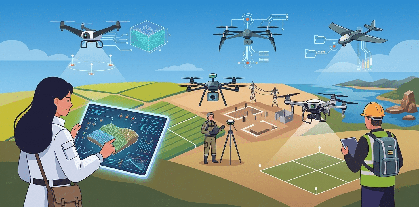
During the test, SPLICE used sensor data to create high-resolution digital elevation maps, assess potential landing areas, and identify hazards.
If the system detected an unsafe landing location, its guidance technology could redirect the aircraft toward a safer alternative.
This capability is especially important for planetary missions, where rocks, uneven terrain, and other obstacles can make landing dangerous.
Why Autonomous Navigation Matters for Space Exploration
Landing on another planet requires more than reaching the correct coordinates. A spacecraft must also evaluate the terrain beneath it and make decisions with limited opportunities for human intervention.
NASA’s SPLICE technology is being developed to support three critical capabilities:
- Terrain Mapping: Using sensors to generate detailed representations of the landing surface.
- Hazard Detection: Identifying obstacles and potentially unsafe landing areas.
- Autonomous Decision-Making: Adjusting the landing trajectory when a safer location is needed.
According to NASA, the successful flight test advanced the technology’s readiness for potential integration into future robotic and crewed lunar missions.
The technology could also have applications beyond spacecraft landings, including autonomous surface navigation.
What Does This Mean for Drone Technology?
NASA’s experiment demonstrates how drones can serve as testing platforms for technologies intended for much larger missions.
The same fundamental concepts behind SPLICE, including sensor integration, terrain analysis, navigation algorithms, and autonomous decision-making, are also important in terrestrial drone applications.
From surveying unfamiliar environments to navigating obstacles, autonomous systems must interpret information and respond to changing conditions.
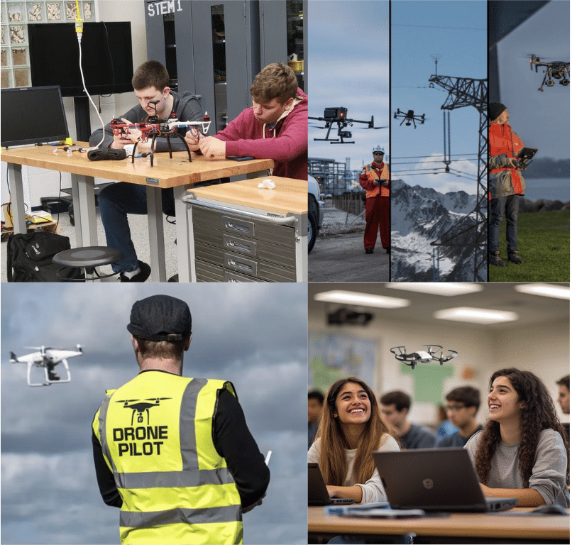
For students, these developments offer a connection between classroom drone programming and engineering challenges being explored by NASA.
Bringing Drone Technology Into the Classroom With LocoRobo
Students do not need to work at NASA to begin exploring the principles behind autonomous flight.
At LocoRobo, we help schools introduce drone technology through hands-on STEM and CTE programs that connect programming, flight systems, and real-world applications.
Our drone kits support students as they progress from foundational flight concepts and block-based coding to Python programming, autonomous navigation, and advanced drone applications.
With classroom-ready drone curriculum, drone equipment, professional development, and ongoing support, we help educators build programs that align with their students’ learning goals.
Explore LocoRobo’s educational drone for schools and discover how your students can begin developing the skills behind autonomous flight.